Topographical Surveys
Topographical Surveys
Topographical (or LAND) Surveys Explained
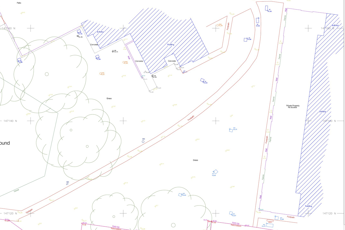
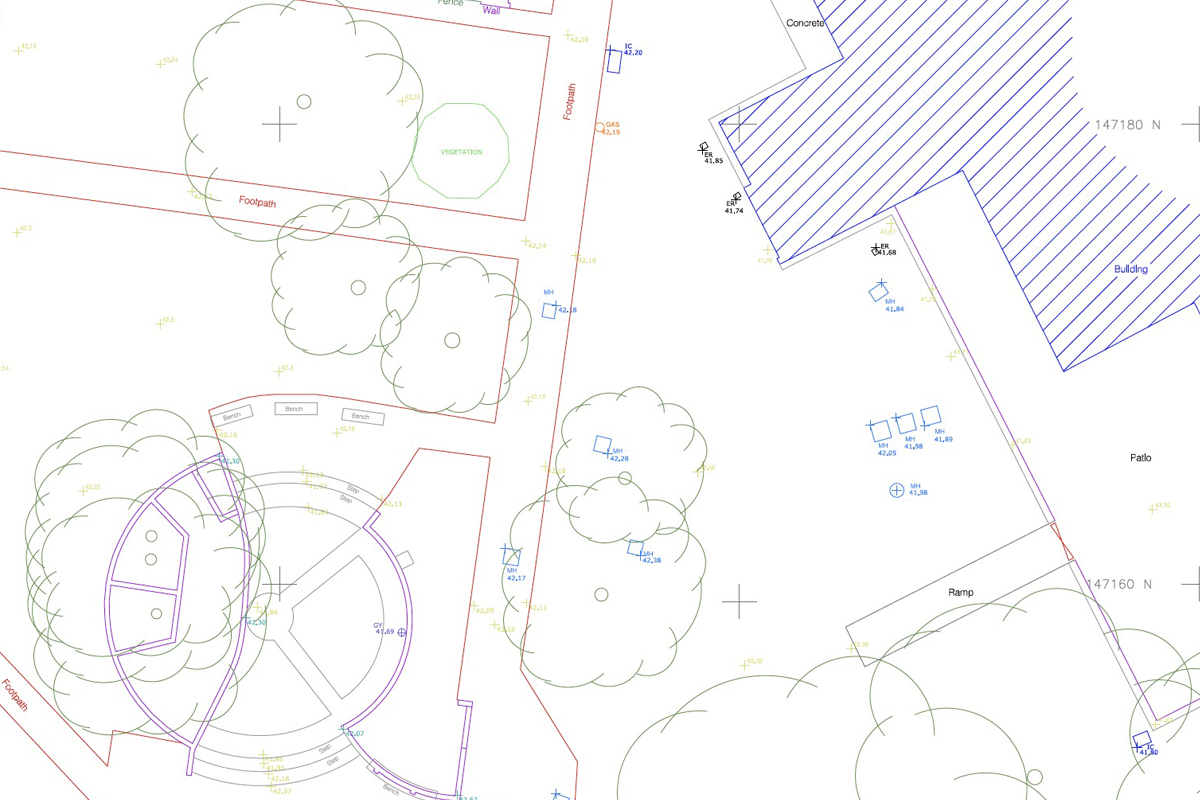
Topographical surveys (also known as land surveys) play a pivotal role in illustrating the physical characteristics of a specific area, both natural and artificial. These encompass a wide array of elements, such as ground elevations, property boundaries, vegetation, infrastructure, and more.
With meticulous attention to detail, our expert surveyors produce meticulously scaled maps and plans that offer an accurate representation of the environment. The precision of these plans is of utmost importance, as they serve multiple crucial purposes, including flood risk assessment, resolution of boundary disputes, and various other applications.
With our topographical mapping services, you can harness the true potential of your construction projects. From strategic decision-making to regulatory compliance, our accurate and comprehensive maps pave the way for a successful and seamless development journey.

Mapping Services Tailored Your Project Needs
At GeoCart, we recognise the paramount importance of land surveys in guiding various construction projects. Whether it’s roadways, railways, pipelines, or other developments, these surveys serve as an invaluable foundation for the planning and execution process.
Additionally, they provide crucial insights for optimal building placement within a construction site, ensuring maximum efficiency and harmonious integration with the surroundings.
One of the defining aspects of our topographical surveys is the inclusion of contour lines, showcasing the dynamic changes in ground elevations over distance and direction. These lines provide a visual representation of the terrain’s undulations, crucial for understanding the landscape and making informed decisions during the planning process.
For more information, check out our comprehensive guide on topographical surveys.

Accuracy is Everything
Crafting topographical maps is an art that requires skill and expertise. Our team of seasoned topographers meticulously measures every aspect of the land, capturing all essential physical features. By adhering to specific client requirements, we curate maps that precisely align with the project’s needs.
Although these surveys can be time-consuming, it’s essential to do them right the first time so that you don’t have to return later and spend money on additional surveys. Understanding the area you are working in ensures the safety of your team and minimises the problems you will face during the project.
For instance, you will need to know if your work will interfere with any water or sewage pipes buried in the area. Equally, you must identify the location of any electrical cables or gas lines that may have been installed there since the last engineering survey was done.
We Provide Services for Vast Range of Construction Sites:
We are authorised to provide surveys for a wide variety of scenarios, including power lines and substations. We do so throughout the UK, including London, Surrey, Sussex, Kent & Hampshire.
Power Substations & Lines
Houses
Warehouses
Residential Developments
…. and more
Our Reviews Speak For Themselves


